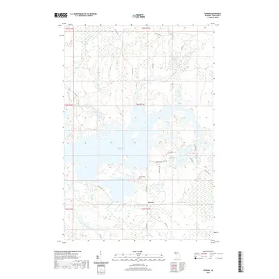
2019 Map of Kiernan
USGS Topo · Published 2019About this map
Michigamme Reservoir dominates this Iron County landscape, its intricate shoreline and scattered islands reflecting the managed hydrology of the Upper Peninsula. To the south, the settlement of Kiernan sits near the banks of the Michigamme River, marking a point of human activity amidst a dense network of forest roads like Way Dam Rd and Channing Rd. The terrain is characterized by significant elevations, most notably Michigamme Mtn, and numerous glacial lakes including Lake Ellen and Little Lake Ellen.
Find a feature on this map
37 named features on this map. Tap any name to fly to it.
Don’t see what you’re looking for? This feature index may not catch every label — zoom into the map to look around manually.
Map Details
Editions of this 2019 Kiernan Map
This is the sole edition of this map. No revisions or reprints were ever made.
Other maps of this area

1895 · Ned Lake
USGS Topo · 1:62,500

1899 · Sagola
USGS Topo · 1:62,500

1899 · Witbeck
USGS Topo · 1:62,500

1899 · Crystal Falls
USGS Topo · 1:62,500

1944 · Crystal Falls
USGS Topo · 1:24,000

1945 · Kelso Junction
USGS Topo · 1:24,000

1946 · Crystal Falls
USGS Topo · 1:31,680

1947 · Kiernan
USGS Topo · 1:24,000

1947 · Lake Mary
USGS Topo · 1:24,000

1947 · Kelso Junction
USGS Topo · 1:24,000