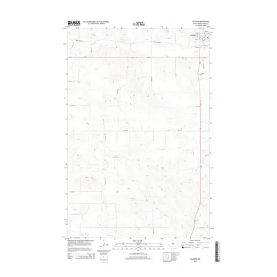
2014 Map of Killdeer
USGS Topo · Published 2014About this map
Killdeer serves as the primary hub in this portion of Dunn County, situated at the junction of ND-22 and ND-200. The town's grid is well-defined by landmarks like Dakota St and Main St W, with the Killdeer Cem located just south of the main residential area. The surrounding landscape is defined by a significant hydrological network, where the headwaters and tributaries of major regional waterways converge. To the south, the Knife River and its tributary, the Little Knife River, carve through the terrain, while the northern and central sections are drained by Spring Cr, Murphy Cr, and Wolf Cr. This drainage pattern reflects the area's transition from the upland prairies into the river valleys that have long supported ranching and agriculture in western North Dakota.
Find a feature on this map
29 named features on this map. Tap any name to fly to it.
Don’t see what you’re looking for? This feature index may not catch every label — zoom into the map to look around manually.
Map Details
Editions of this 2014 Killdeer Map
This is the sole edition of this map. No revisions or reprints were ever made.
Other maps of this area

1953 · Watford City
USGS Topo · 1:250,000

1957 · Watford City
USGS Topo · 1:250,000

1967 · Watford City
USGS Topo · 1:250,000

1970 · Dunn Center NW
USGS Topo · 1:24,000

1973 · Manning
USGS Topo · 1:24,000

1973 · Manning NW
USGS Topo · 1:24,000

1973 · Emerson
USGS Topo · 1:24,000

1973 · Lake Ilo
USGS Topo · 1:24,000

1974 · Killdeer
USGS Topo · 1:100,000

1974 · Fayette
USGS Topo · 1:24,000