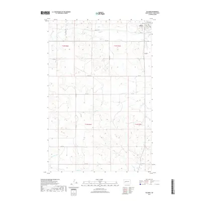
2017 Map of Killdeer
USGS Topo · Published 2017About this map
Killdeer serves as the primary hub of this Dunn County landscape, situated where the high plains meet the intricate drainage systems of the Missouri River basin. The town's grid extends toward the Killdeer Cem on the eastern edge, while the surrounding territory is defined by a dense network of watercourses. The Knife River and its tributary, the Little Knife River, meander across the southern sections of the quadrangle, carving through the terrain alongside Wolf Cr. To the north, Spring Cr and Murphy Cr drain the higher elevations, illustrating the complex hydrology that has historically dictated land use and ranching boundaries in this part of North Dakota. A systematic road network, including Spring Creek Rd and 110th Ave SW, follows the section lines of the Public Land Survey System, highlighting the orderly transition from wild prairie to a managed agricultural and residential landscape.
Find a feature on this map
27 named features on this map. Tap any name to fly to it.
Don’t see what you’re looking for? This feature index may not catch every label — zoom into the map to look around manually.
Map Details
Editions of this 2017 Killdeer Map
This is the sole edition of this map. No revisions or reprints were ever made.
Other maps of this area

1953 · Watford City
USGS Topo · 1:250,000

1957 · Watford City
USGS Topo · 1:250,000

1967 · Watford City
USGS Topo · 1:250,000

1970 · Dunn Center NW
USGS Topo · 1:24,000

1973 · Manning
USGS Topo · 1:24,000

1973 · Manning NW
USGS Topo · 1:24,000

1973 · Emerson
USGS Topo · 1:24,000

1973 · Lake Ilo
USGS Topo · 1:24,000

1974 · Killdeer
USGS Topo · 1:100,000

1974 · Fayette
USGS Topo · 1:24,000