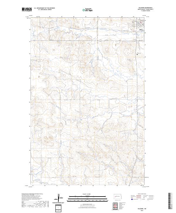
2024 Map of Killdeer
USGS Topo · Published 2024About this map
Killdeer serves as the focal point of this Dunn County landscape, situated where the high plains begin to break toward the Missouri River drainage system. The settlement is anchored near the Killdeer Cem and is the hub for a network of section-line roads like Spring Creek RD and Dakota St. South of town, the terrain is defined by a complex drainage network where Spring Creek and Murphy Creek flow through the rolling prairie. Farther south, the geography becomes more defined as the Wolf Creek system gives way to the Little Knife River and the main channel of the Knife River. This detailed survey captures the intersection of traditional township boundaries, including t145n r95w and t144n r95w, with the modern residential and agricultural development of western North Dakota.
Find a feature on this map
29 named features on this map. Tap any name to fly to it.
Don’t see what you’re looking for? This feature index may not catch every label — zoom into the map to look around manually.
Map Details
Editions of this 2024 Killdeer Map
This is the sole edition of this map. No revisions or reprints were ever made.
Other maps of this area

1953 · Watford City
USGS Topo · 1:250,000

1957 · Watford City
USGS Topo · 1:250,000

1967 · Watford City
USGS Topo · 1:250,000

1970 · Dunn Center NW
USGS Topo · 1:24,000

1973 · Manning
USGS Topo · 1:24,000

1973 · Manning NW
USGS Topo · 1:24,000

1973 · Emerson
USGS Topo · 1:24,000

1973 · Lake Ilo
USGS Topo · 1:24,000

1974 · Killdeer
USGS Topo · 1:100,000

1974 · Fayette
USGS Topo · 1:24,000