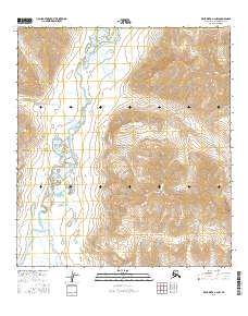
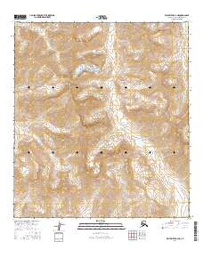
2016 Map of Killik River A-2 NW
USGS Topo · Published 2016About this map
Gates of the Arctic National Park encompasses the majority of this Alaskan wilderness, where the high ridges of Mayukuit Mtn dominate the central topography. The landscape is defined by the braided path of the Killik River, which serves as the primary drainage for numerous glacial and mountain tributaries. These waters, including Irituk Cr and Togoyuk Cr, weave through the valley floors between steep elevation contours that indicate the dramatic relief of the central Brooks Range. The presence of Lake Kaniksrak and smaller wetlands near the confluence of Enekalikruak Cr highlights the complex hydrology of this subarctic environment. Mapping this region in 2016 reveals a territory largely devoid of human structures or roads, preserved instead in its natural state where the only named landmarks are the mountains, creeks, and rivers that have guided travelers through these passes for generations.
Find a feature on this map
15 named features on this map. Tap any name to fly to it.
Don’t see what you’re looking for? This feature index may not catch every label — zoom into the map to look around manually.
Map Details
Editions of this 2016 Killik River A-2 NW Map
This is the sole edition of this map. No revisions or reprints were ever made.
Other maps of this area

1951 · Killik River
USGS Topo · 1:250,000

1956 · Killik River
USGS Topo · 1:250,000
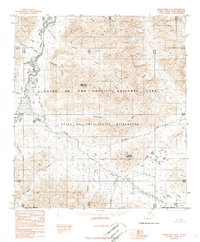
1986 · Killik River A-2
USGS Topo · 1:63,360
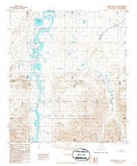
1986 · Killik River B-2
USGS Topo · 1:63,360
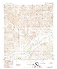
1986 · Killik River A-3
USGS Topo · 1:63,360
1986 · Killik River B-3
USGS Topo · 1:63,360
2016 · Killik River A-3 NE
USGS Topo · 1:25,000
2016 · Killik River B-2 SE
USGS Topo · 1:25,000
2016 · Killik River B-3 SE
USGS Topo · 1:25,000
2016 · Killik River A-2 NE
USGS Topo · 1:25,000