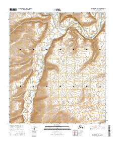
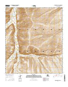
2016 Map of Killik River D-2 NW
USGS Topo · Published 2016About this map
The Colville River carves a sweeping arc through this Arctic landscape, most notably at the sharp, eastward turn known as Killik Bend. This northern section of the Colville River valley serves as a primary drainage corridor for several significant tributaries, including the Oolamnagavik River which joins from the south. The terrain is characterized by intricate drainages such as Kaklik Naitka Cr and Mayuasanik Cr, illustrating the complex hydrological network of the North Slope. These waterways define the shifting gravel bars and seasonal flow patterns typical of the region's braided river systems, providing a window into the untouched geography of this remote territory during the early 21st century.
Find a feature on this map
11 named features on this map. Tap any name to fly to it.
Don’t see what you’re looking for? This feature index may not catch every label — zoom into the map to look around manually.
Map Details
Editions of this 2016 Killik River D-2 NW Map
This is the sole edition of this map. No revisions or reprints were ever made.
Other maps of this area

1951 · Ikpikpuk River
USGS Topo · 1:250,000

1951 · Killik River
USGS Topo · 1:250,000

1956 · Killik River
USGS Topo · 1:250,000

1956 · Ikpikpuk River
USGS Topo · 1:250,000
1984 · Killik River D-2
USGS Topo · 1:63,360

1984 · Ikpikpuk River A-3
USGS Topo · 1:63,360

1984 · Ikpikpuk River A-2
USGS Topo · 1:63,360
1986 · Killik River D-3
USGS Topo · 1:63,360
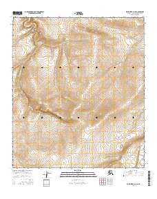
2016 · Killik River D-2 SE
USGS Topo · 1:25,000
2016 · Killik River D-2 SW
USGS Topo · 1:25,000