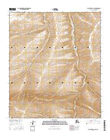
2016 Map of Killik River D-3 NW
USGS Topo · Published 2016About this map
The remote drainage of Aupuk Cr winds through the North Slope of Alaska in this 2016 survey, where the landscape is defined by the steep, unpopulated slopes of the Brooks Range foothills. The map focuses on the high-latitude wilderness within the t5s r12w, t5s r11w, t6s r12w, and t6s r11w townships. Without any named settlements or established roads, the cartography relies on meticulous contour lines to describe the complex drainage patterns and elevation changes of this arctic environment. This sheet is primarily used for understanding the hydrological network of the Killik River watershed, capturing a region where natural landforms are the only landmarks.
Find a feature on this map
5 named features on this map. Tap any name to fly to it.
Don’t see what you’re looking for? This feature index may not catch every label — zoom into the map to look around manually.
Map Details
Editions of this 2016 Killik River D-3 NW Map
This is the sole edition of this map. No revisions or reprints were ever made.
Other maps of this area

1951 · Ikpikpuk River
USGS Topo · 1:250,000

1951 · Killik River
USGS Topo · 1:250,000

1956 · Killik River
USGS Topo · 1:250,000

1956 · Ikpikpuk River
USGS Topo · 1:250,000
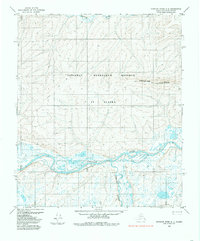
1984 · Ikpikpuk River A-4
USGS Topo · 1:63,360

1984 · Ikpikpuk River A-3
USGS Topo · 1:63,360
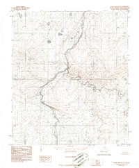
1986 · Killik River D-4
USGS Topo · 1:63,360
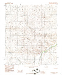
1986 · Killik River D-3
USGS Topo · 1:63,360
2016 · Killik River D-4 NE
USGS Topo · 1:25,000
2016 · Killik River D-4 SE
USGS Topo · 1:25,000