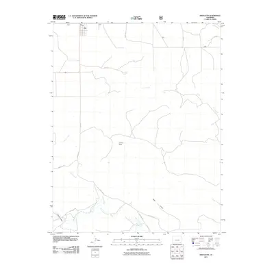
2011 Map of Kim South
USGS Topo · Published 2011About this map
Kim anchors the northwestern corner of this landscape in Las Animas County, where the small high-plains settlement transitions into a network of draws and mesas. The local geography is defined by the prominent Tecolote Mesa and the deep incisions of Baldy Canyon to the southeast. Waterways such as Tecolote Creek, Saltillo Creek, and West Carrizo Creek carve paths through the arid terrain, illustrating the drainage patterns vital to this ranching region. A sparse but essential network of county roads, including County Rd 197 and County Rd 22.1, connects the outlying acreage to the town center. For those tracing local history or family ties, the Kim Cemetery stands as a primary landmark just north of the town limits, while the various named draws like Couchman Draw provide specific reference points for historical land use and early 21st-century property boundaries.
Find a feature on this map
20 named features on this map. Tap any name to fly to it.
Don’t see what you’re looking for? This feature index may not catch every label — zoom into the map to look around manually.
Map Details
Editions of this 2011 Kim South Map
This is the sole edition of this map. No revisions or reprints were ever made.
Other maps of this area

1892 · Mt Carrizo
USGS Topo · 1:125,000

1955 · La Junta
USGS Topo · 1:250,000

1958 · La Junta
USGS Topo · 1:250,000

1968 · La Junta
USGS Topo · 1:250,000
1978 · Dalerose Mesa
USGS Topo · 1:24,000

1978 · Pintada Creek
USGS Topo · 1:24,000
1978 · Furnish Canyon West
USGS Topo · 1:24,000
1978 · Cherry Canyon
USGS Topo · 1:24,000
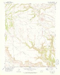
1978 · Jesus Canyon
USGS Topo · 1:24,000
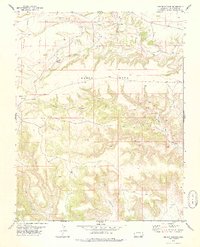
1978 · Dennis Canyon
USGS Topo · 1:24,000