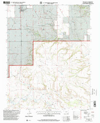
1996 Map of Kim South
USGS Topo · Published 2000About this map
Kim serves as the primary hub in this high-plains landscape, where the town's small footprint is marked by Water Tanks and a Communication Tower. Much of the surrounding territory falls within the Comanche National Grassland, a region defined by its complex drainage systems and dramatic landforms. The topography transitions from the flat tablelands of the north into the dissected breaks of Tecolote Mesa, where deep incisions like Baldy Canyon carve through the earth. The area's water network is documented through numerous features such as Saltillo Creek, Tecolote Creek, and West Carrizo Creek, alongside scattered Well and Spring locations vital for cattle and land management. Evidence of early settlement and rural life appears at the Troy Cem and another Cem near town, while the network of 4wd tracks and the Couchman Draw road reveal how residents navigated this remote corner of Las Animas County.
Find a feature on this map
22 named features on this map. Tap any name to fly to it.
Don’t see what you’re looking for? This feature index may not catch every label — zoom into the map to look around manually.
Map Details
Editions of this 1996 Kim South Map
This is the sole edition of this map. No revisions or reprints were ever made.
Other maps of this area

1892 · Mt Carrizo
USGS Topo · 1:125,000

1955 · La Junta
USGS Topo · 1:250,000

1958 · La Junta
USGS Topo · 1:250,000

1968 · La Junta
USGS Topo · 1:250,000
1978 · Dalerose Mesa
USGS Topo · 1:24,000

1978 · Pintada Creek
USGS Topo · 1:24,000
1978 · Furnish Canyon West
USGS Topo · 1:24,000
1978 · Cherry Canyon
USGS Topo · 1:24,000
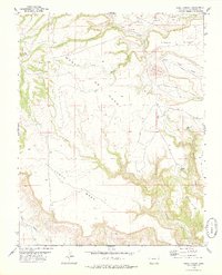
1978 · Jesus Canyon
USGS Topo · 1:24,000
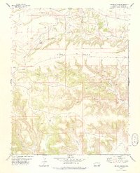
1978 · Dennis Canyon
USGS Topo · 1:24,000