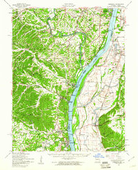
1954 Map of Kimmswick
USGS Topo · Published 1960About this map
Jefferson Barracks National Cemetery stands as a prominent landmark on this mid-century landscape where the Mississippi River divides Missouri and Illinois. The map captures a transition from suburban development near Mattes and Oakville to the industrial and riverine settlements further south. Rail transport defines the corridor, with the Missouri Pacific RR and St Louis San Francisco RR tracking the riverbanks near historic points like Kimmswick and Herculaneum.
Find a feature on this map
107 named features on this map. Tap any name to fly to it.
Don’t see what you’re looking for? This feature index may not catch every label — zoom into the map to look around manually.
Map Details
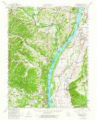
Editions of this 1954 Kimmswick Map
2 editions found
Other maps of this area

1888 · St. Louis
USGS Topo · 1:62,500

1901 · De Soto
USGS Topo · 1:125,000

1903 · O'Fallon
USGS Topo · 1:125,000

1910 · Waterloo
USGS Topo · 1:62,500

1912 · Kimmswick
USGS Topo · 1:62,500

1913 · Waterloo
USGS Topo · 1:62,500

1915 · Renault
USGS Topo · 1:62,500

1915 · Crystal City
USGS Topo · 1:62,500

1916 · Kimmswick
USGS Topo · 1:62,500

1930 · De Soto NE
USGS Topo · 1:24,000