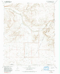
1966 Map of Kin Klizhin Ruins
USGS Topo · Published 1993About this map
Chaco Culture National Historical Park preserves a desert landscape defined by ancient architectural sites and ephemeral water systems along the Chaco River. This mid-1960s survey documents the topography of the West Mesa and the intricate drainage networks that sustained early inhabitants, including the Ah-shi-sle-pah Wash and Kin Klizhin Wash. Cultural landmarks such as the Kin Klizhin Ruins and Peñasco Blanco Ruins are clearly identified, situated near water sources like Padilla Well and Beyale Well. The map illustrates the geographical transition across the San Juan and McKinley County boundary, where deep washes and wide mesas provided the primary corridors for movement through this arid environment. It serves as a detailed record of the relationship between prehistoric sites and the natural terrain before modern archaeological management redefined the park's boundaries.
Find a feature on this map
14 named features on this map. Tap any name to fly to it.
Don’t see what you’re looking for? This feature index may not catch every label — zoom into the map to look around manually.
Map Details
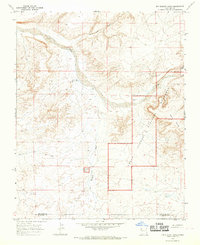
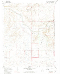
Editions of this 1966 Kin Klizhin Ruins Map
Other maps of this area

1883 · Mt. Taylor
USGS Topo · 1:250,000

1886 · Wingate
USGS Topo · 1:250,000

1886 · Mt. Taylor
USGS Topo · 1:250,000

1889 · Largo
USGS Topo · 1:250,000

1889 · Chaco
USGS Topo · 1:250,000

1892 · Wingate
USGS Topo · 1:250,000

1892 · Chaco
USGS Topo · 1:250,000

1892 · Mt. Taylor
USGS Topo · 1:250,000

1895 · Largo
USGS Topo · 1:250,000

1899 · Mt. Taylor
USGS Topo · 1:250,000