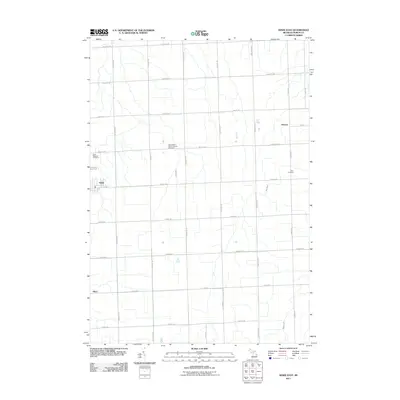
2011 Map of Kinde East
USGS Topo · Published 2011About this map
Kinde and the surrounding township lands of Huron County are defined by a strictly surveyed grid of rural roads and scattered parish landmarks. The settlement of Filion sits to the south, while Glencoe is positioned near the eastern margin. This landscape is a patchwork of agricultural plots drained by small waterways like Bird Creek, Willow Creek, and the New River. For those tracing local genealogy or church history, several significant burial grounds are documented, including Saint Edwards Cemetery and Zion Cemetery. Of particular cultural note is Saint Mary's Polish Catholic Cemetery, which serves as a visible marker of the specific European immigrant groups who settled and farmed this portion of the Michigan Thumb. The layout of the roads, from Stoddard Rd at the northern boundary to Church Rd in the south, remains largely unchanged since the initial township surveys, reflecting the enduring rural character of the region.
Find a feature on this map
29 named features on this map. Tap any name to fly to it.
Don’t see what you’re looking for? This feature index may not catch every label — zoom into the map to look around manually.
Map Details
Editions of this 2011 Kinde East Map
This is the sole edition of this map. No revisions or reprints were ever made.
Other maps of this area

1954 · Flint
USGS Topo · 1:250,000

1954 · Tawas City
USGS Topo · 1:250,000

1958 · Flint
USGS Topo · 1:250,000

1958 · Tawas City
USGS Topo · 1:250,000

1970 · Port Austin East
USGS Topo · 1:24,000

1970 · Kinde East
USGS Topo · 1:24,000

1970 · Redman
USGS Topo · 1:24,000

1970 · Huron City
USGS Topo · 1:24,000

1970 · Port Austin West
USGS Topo · 1:24,000

1970 · Kinde West
USGS Topo · 1:24,000