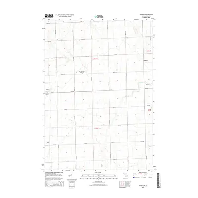
2014 Map of Kinde East
USGS Topo · Published 2014About this map
Agricultural fields and drainage channels define the rural character of Huron County in this 2014 survey. The village of Kinde serves as a local hub at the intersection of Main St and Michigan St, while the small settlements of Filion and Glencoe anchor the surrounding townships. The cultural heritage of the area is evidenced by the Saint Mary's Polish Catholic Cem and Zion Cem, which are situated along the gridded road network. Water management is critical to this landscape, with Bird Cr, New River, and Willow Cr providing the primary drainage for the surrounding farms. The map illustrates a strictly partitioned landscape where township boundaries like t18n r13e and t17n r13e meet along established county roads such as Hellems Rd and Kinde Rd.
Find a feature on this map
37 named features on this map. Tap any name to fly to it.
Don’t see what you’re looking for? This feature index may not catch every label — zoom into the map to look around manually.
Map Details
Editions of this 2014 Kinde East Map
This is the sole edition of this map. No revisions or reprints were ever made.
Other maps of this area

1954 · Flint
USGS Topo · 1:250,000

1954 · Tawas City
USGS Topo · 1:250,000

1958 · Flint
USGS Topo · 1:250,000

1958 · Tawas City
USGS Topo · 1:250,000

1970 · Port Austin East
USGS Topo · 1:24,000

1970 · Kinde East
USGS Topo · 1:24,000

1970 · Redman
USGS Topo · 1:24,000

1970 · Huron City
USGS Topo · 1:24,000

1970 · Port Austin West
USGS Topo · 1:24,000

1970 · Kinde West
USGS Topo · 1:24,000