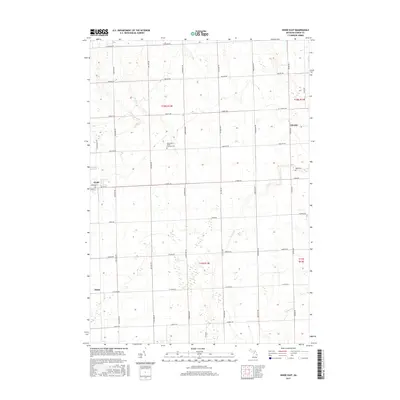
2017 Map of Kinde East
USGS Topo · Published 2017About this map
Kinde and Filion anchor this section of Michigan's Thumb, where the landscape is defined by a dense grid of rural roads and the intermittent paths of local waterways. The survey reveals a region shaped by agricultural planning, with major arteries like Kinde Rd and Verona Rd segmenting the land into regular townships. This area maintains a strong connection to its cultural heritage, most notably at the Saint Mary's Polish Catholic Cem, reflecting the ethnic settlement patterns that established these rural communities. The natural drainage of the territory is managed by small watercourses such as Bird Cr, Willow Cr, and the upper reaches of the New River. Traces of older hamlets like Glencoe appear alongside more active villages, providing a clear record of how commerce and residence have shifted over time within Huron County.
Find a feature on this map
37 named features on this map. Tap any name to fly to it.
Don’t see what you’re looking for? This feature index may not catch every label — zoom into the map to look around manually.
Map Details
Editions of this 2017 Kinde East Map
This is the sole edition of this map. No revisions or reprints were ever made.
Other maps of this area

1954 · Flint
USGS Topo · 1:250,000

1954 · Tawas City
USGS Topo · 1:250,000

1958 · Flint
USGS Topo · 1:250,000

1958 · Tawas City
USGS Topo · 1:250,000

1970 · Port Austin East
USGS Topo · 1:24,000

1970 · Kinde East
USGS Topo · 1:24,000

1970 · Redman
USGS Topo · 1:24,000

1970 · Huron City
USGS Topo · 1:24,000

1970 · Port Austin West
USGS Topo · 1:24,000

1970 · Kinde West
USGS Topo · 1:24,000