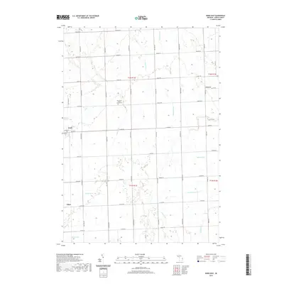
2019 Map of Kinde East
USGS Topo · Published 2019About this map
Kinde stands as the primary hub of this agricultural landscape in Huron County, where the intersection of Michigan St and Main St anchors the local community. The region is defined by an intricate network of managed waterways, including Weber Drain, Baranski Drain, and Marsa Drain, which support the intensive farming throughout the townships. Smaller settlements like Glencoe and Filion mark the outer reaches of the survey, reflecting the traditional township-and-range grid system that governs the road placement.
Find a feature on this map
43 named features on this map. Tap any name to fly to it.
Don’t see what you’re looking for? This feature index may not catch every label — zoom into the map to look around manually.
Map Details
Editions of this 2019 Kinde East Map
This is the sole edition of this map. No revisions or reprints were ever made.
Other maps of this area

1954 · Flint
USGS Topo · 1:250,000

1954 · Tawas City
USGS Topo · 1:250,000

1958 · Flint
USGS Topo · 1:250,000

1958 · Tawas City
USGS Topo · 1:250,000

1970 · Port Austin East
USGS Topo · 1:24,000

1970 · Kinde East
USGS Topo · 1:24,000

1970 · Redman
USGS Topo · 1:24,000

1970 · Huron City
USGS Topo · 1:24,000

1970 · Port Austin West
USGS Topo · 1:24,000

1970 · Kinde West
USGS Topo · 1:24,000