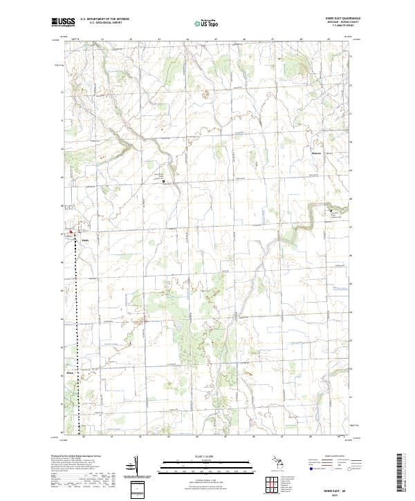
2023 Map of Kinde East
USGS Topo · Published 2023About this map
Agricultural lands in the northern Thumb of Michigan are defined by an extensive network of drainage systems such as Pitcher Drain, Marsa Drain, and Wismer Drain. These man-made channels support the high-yield farming of Huron County, crisscrossing the terrain between small village clusters. The village of Kinde sits at the intersection of local routes in the west, while the smaller settlement of Filion marks the landscape further south. Cultural heritage is anchored by two distinct religious landmarks: Saint Mary's Polish Catholic Cem and Zion Saint Peters Lutheran Cem, reflecting the central European immigrant history of the region. Natural watercourses like New River and Bird Creek meander through the township grids, providing the primary natural drainage into which the complex network of agricultural ditches flows.
Find a feature on this map
44 named features on this map. Tap any name to fly to it.
Don’t see what you’re looking for? This feature index may not catch every label — zoom into the map to look around manually.
Map Details
Editions of this 2023 Kinde East Map
This is the sole edition of this map. No revisions or reprints were ever made.
Other maps of this area

1954 · Flint
USGS Topo · 1:250,000

1954 · Tawas City
USGS Topo · 1:250,000

1958 · Flint
USGS Topo · 1:250,000

1958 · Tawas City
USGS Topo · 1:250,000

1970 · Port Austin East
USGS Topo · 1:24,000

1970 · Kinde East
USGS Topo · 1:24,000

1970 · Redman
USGS Topo · 1:24,000

1970 · Huron City
USGS Topo · 1:24,000

1970 · Port Austin West
USGS Topo · 1:24,000

1970 · Kinde West
USGS Topo · 1:24,000