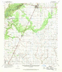
1959 Map of Kinder
USGS Topo · Published 1970About this map
The Missouri Pacific corridor anchors this late-1950s survey of the Louisiana prairie, where the industrial expansion of the Kinder Oil Field and Welsh Oil and Gas Field meets a landscape defined by complex water systems. The Calcasieu River winds through the northwest, bordered by distinctive river features like Lormand Bluff and Nevils Bluff. This area shows a transition from the riparian environment of Indian Village to the systematic drainage of the southern fields, where numerous flumes and siphons manage the flow near Gum Bayou and Serpent Bayou. Smaller settlements such as Fontenot, Edna, and Woodlawn are mapped alongside local landmarks like Sacred Heart Ch and the Microwave Tower, illustrating the rural infrastructure of Allen Parish and Jefferson Davis Parish during a period of significant petroleum development.
Find a feature on this map
43 named features on this map. Tap any name to fly to it.
Don’t see what you’re looking for? This feature index may not catch every label — zoom into the map to look around manually.
Map Details
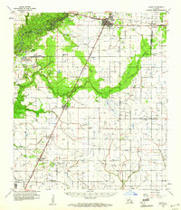
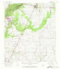
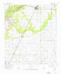
Editions of this 1959 Kinder Map
4 editions found
Other maps of this area

1932 · Lake Charles NE
USGS Topo · 1:31,680

1942 · Lake Charles
USGS Topo · 1:62,500

1946 · Lacassine
USGS Topo · 1:31,680

1946 · Jennings
USGS Topo · 1:31,680

1947 · Kinder
USGS Topo · 1:31,680

1947 · Fenton
USGS Topo · 1:31,680

1947 · Oberlin
USGS Topo · 1:31,680

1947 · Hecker
USGS Topo · 1:31,680

1947 · Pine Island
USGS Topo · 1:31,680

1947 · Welsh
USGS Topo · 1:31,680