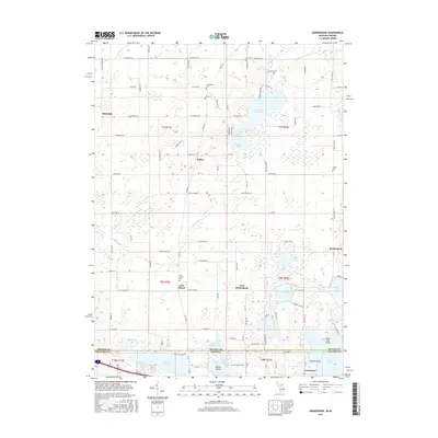
2017 Map of Kinderhook
USGS Topo · Published 2017About this map
Kinderhook and the surrounding township occupy a lake-studded landscape at the southern edge of Branch County, where the Michigan-Indiana border meets Steuben Co. This late-era survey documents the rural character of the region, defined by a dense concentration of glacial water bodies like Lake of the Woods, Dragon Lake, and Lake Pleasant. The settlement pattern is anchored by small communities and intersections including Bethel, West Kinderhook, and East Gilead, each serving a dispersed agricultural population. Local heritage is preserved in numerous burial grounds, such as East Gilead Cem and Knauss Cem, which often represent the earliest established sites in these rural sections. The landscape is further shaped by the winding courses of the Prairie River and Coldwater River, which cut through the township's interior. Near the state line, the development of lakeside tracts is visible at Lake Michiana and Jamestown, reflecting the enduring role of the area's natural hydrology in shaping both permanent residency and seasonal recreation.
Find a feature on this map
113 named features on this map. Tap any name to fly to it.
Don’t see what you’re looking for? This feature index may not catch every label — zoom into the map to look around manually.
Map Details
Editions of this 2017 Kinderhook Map
This is the sole edition of this map. No revisions or reprints were ever made.
Other maps of this area

1939 · Angola East
USGS Topo · 1:24,000

1940 · Orland
USGS Topo · 1:24,000

1941 · Orland
USGS Topo · 1:24,000

1941 · Angola West
USGS Topo · 1:24,000

1942 · Angola West
USGS Topo · 1:24,000

1947 · Angola East
USGS Topo · 1:24,000

1953 · Fort Wayne
USGS Topo · 1:250,000

1956 · Fort Wayne
USGS Topo · 1:250,000

1960 · Coldwater West
USGS Topo · 1:24,000

1960 · Coldwater East
USGS Topo · 1:24,000