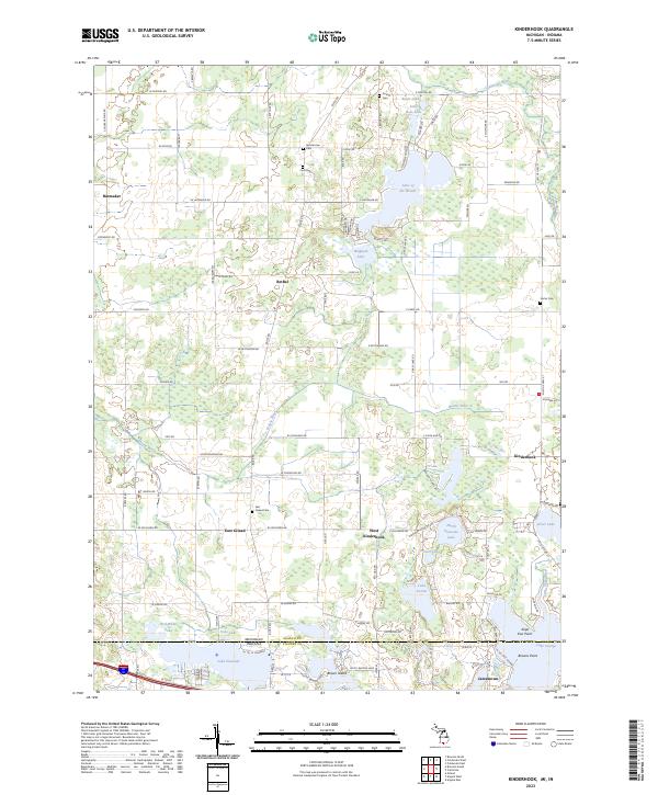
2023 Map of Kinderhook
USGS Topo · Published 2023About this map
East Gilead and West Kinderhook anchor this rural landscape along the Michigan and Indiana border, where a dense network of glacial lakes and wetlands defines the local geography. The map documents a classic Midwestern township structure, with family names preserved in sites like Ammerman Cem and Card Cem. The water-rich terrain is dominated by Lake of the Woods and a series of smaller basins including Bingham Lake, Lake Lavine, and North Pleasant Lake.
Find a feature on this map
114 named features on this map. Tap any name to fly to it.
Don’t see what you’re looking for? This feature index may not catch every label — zoom into the map to look around manually.
Map Details
Editions of this 2023 Kinderhook Map
This is the sole edition of this map. No revisions or reprints were ever made.
Other maps of this area

1939 · Angola East
USGS Topo · 1:24,000

1940 · Orland
USGS Topo · 1:24,000

1941 · Orland
USGS Topo · 1:24,000

1941 · Angola West
USGS Topo · 1:24,000

1942 · Angola West
USGS Topo · 1:24,000

1947 · Angola East
USGS Topo · 1:24,000

1953 · Fort Wayne
USGS Topo · 1:250,000

1956 · Fort Wayne
USGS Topo · 1:250,000

1960 · Coldwater West
USGS Topo · 1:24,000

1960 · Coldwater East
USGS Topo · 1:24,000