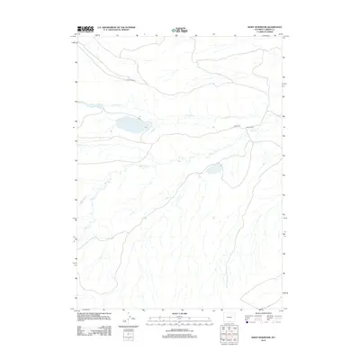
2012 Map of Kindt Reservoir
USGS Topo · Published 2012About this map
Bolten Ranch sits at the center of this 2012 survey, marking a localized pocket of human activity within the expansive drainage basin of the North Platte river system in Carbon County. The landscape is defined by a dendritic network of seasonal waterways, most notably Little Sage Cr and Sage Cr, which carve shallow paths across the high plains. Historically, the area reflects the long-standing ranching traditions of Wyoming, where infrastructure is sparse and centered on water access and grazing routes. The northern portion of the map features the Hugus Cutoff, a notable local transit point that connects with the established Bolten Rd to the east. These roads provide the primary links through a terrain also crossed by Rasmussen Cr, illustrating the rugged, rural character of the high desert environment during the early 21st century.
Find a feature on this map
6 named features on this map. Tap any name to fly to it.
Don’t see what you’re looking for? This feature index may not catch every label — zoom into the map to look around manually.
Map Details
Editions of this 2012 Kindt Reservoir Map
This is the sole edition of this map. No revisions or reprints were ever made.
Other maps of this area

1893 · Fort Steele
USGS Topo · 1:125,000

1932 · Savery
USGS Topo · 1:96,000

1939 · Saratoga
USGS Topo · 1:125,000

1940 · Savery
USGS Topo · 1:125,000

1954 · Rawlins
USGS Topo · 1:250,000

1955 · Overland Crossing
USGS Topo · 1:24,000

1955 · Savage Ranch
USGS Topo · 1:24,000

1956 · Bolten Ranch
USGS Topo · 1:62,500

1958 · Rawlins
USGS Topo · 1:250,000

1961 · Middlewood Hill
USGS Topo · 1:24,000