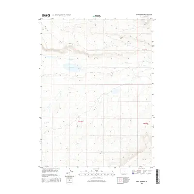
2015 Map of Kindt Reservoir
USGS Topo · Published 2015About this map
Kindt Reservoir sits at the center of this 2015 high-desert landscape in Carbon County, where the terrain is defined by the dramatic escarpment of Hugus Cliff. This area of southern Wyoming shows a clear divide between the high plateaus and the drainage basins of Little Sage Creek and Sage Creek. The presence of Coal Mine Draw in the northeastern section of the map points to the region's historical and geological ties to mineral extraction. Navigation through this open country is primarily served by Bolten Rd, which skirts the reservoir. The map provides a detailed view of the water management and natural drainage patterns, including Rasmussen Creek, essential for life and industry in this arid environment.
Find a feature on this map
11 named features on this map. Tap any name to fly to it.
Don’t see what you’re looking for? This feature index may not catch every label — zoom into the map to look around manually.
Map Details
Editions of this 2015 Kindt Reservoir Map
This is the sole edition of this map. No revisions or reprints were ever made.
Other maps of this area

1893 · Fort Steele
USGS Topo · 1:125,000

1932 · Savery
USGS Topo · 1:96,000

1939 · Saratoga
USGS Topo · 1:125,000

1940 · Savery
USGS Topo · 1:125,000

1954 · Rawlins
USGS Topo · 1:250,000

1955 · Overland Crossing
USGS Topo · 1:24,000

1955 · Savage Ranch
USGS Topo · 1:24,000

1956 · Bolten Ranch
USGS Topo · 1:62,500

1958 · Rawlins
USGS Topo · 1:250,000

1961 · Middlewood Hill
USGS Topo · 1:24,000