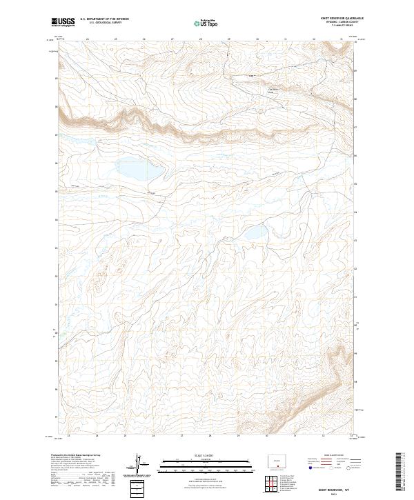
2021 Map of Kindt Reservoir
USGS Topo · Published 2021About this map
Savage Ranch and Walck Ranch anchor this high-plains landscape in Carbon County, where the topography is defined by the ephemeral drainages of the Little Sage Creek system. The area represents the traditional ranching economy of the Wyoming interior, with Bolten Rd providing the primary transit corridor across the township boundaries of T19N R86W and T18N R86W. The presence of Coal Mine Draw in the northern reaches points to the region's underlying geology and history of resource extraction. This 2021 update traces the subtle watercourses of Miller Cr and Rasmussen Cr as they navigate the basin's complex drainage patterns. The map is a precise record of contemporary land use, balancing livestock operations with the preservation of natural watersheds like Sage Cr.
Find a feature on this map
13 named features on this map. Tap any name to fly to it.
Don’t see what you’re looking for? This feature index may not catch every label — zoom into the map to look around manually.
Map Details
Editions of this 2021 Kindt Reservoir Map
This is the sole edition of this map. No revisions or reprints were ever made.
Other maps of this area

1893 · Fort Steele
USGS Topo · 1:125,000

1932 · Savery
USGS Topo · 1:96,000

1939 · Saratoga
USGS Topo · 1:125,000

1940 · Savery
USGS Topo · 1:125,000

1954 · Rawlins
USGS Topo · 1:250,000

1955 · Overland Crossing
USGS Topo · 1:24,000

1955 · Savage Ranch
USGS Topo · 1:24,000

1956 · Bolten Ranch
USGS Topo · 1:62,500

1958 · Rawlins
USGS Topo · 1:250,000

1961 · Middlewood Hill
USGS Topo · 1:24,000