
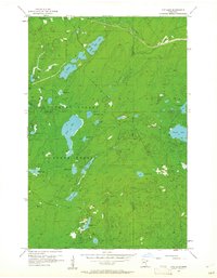
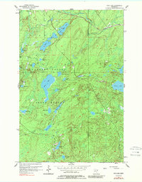
1956 Map of King Lake
USGS Topo · Published 1958About this map
The Cloquet Valley State Forest dominates this mid-century landscape in northeastern Minnesota, characterized by an intricate network of glacial lakes and wetlands. The northern edge of the map is defined by the industrial presence of the Duluth Missabe and Iron Range rail line, which cuts across the terrain near Little Stone Lake and Stone Lake. This corridor, along with the tellingly named Old Railroad Grade Creek, highlights the region's historic reliance on timber and mineral transport through the dense forest.
Find a feature on this map
35 named features on this map. Tap any name to fly to it.
Don’t see what you’re looking for? This feature index may not catch every label — zoom into the map to look around manually.
Map Details
Editions of this 1956 King Lake Map
3 editions found
Other maps of this area

1953 · Whyte
USGS Topo · 1:62,500

1954 · Barrs Lake
USGS Topo · 1:24,000

1954 · Mc Carthy Creek
USGS Topo · 1:24,000

1954 · Two Harbors
USGS Topo · 1:250,000

1956 · Pequaywan Lake
USGS Topo · 1:24,000

1957 · Two Harbors
USGS Topo · 1:250,000

1957 · Two Harbors
USGS Topo · 1:62,500

1957 · Two Harbors
USGS Topo · 1:24,000

1957 · Brimson
USGS Topo · 1:62,500

1958 · Two Harbors
USGS Topo · 1:250,000