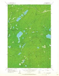
1956 Map of King Lake
USGS Topo · Published 1962About this map
Cloquet Valley State Forest dominates this mid-century landscape in northeastern Minnesota, where a dense network of lakes and marshes defines the topography. The Duluth Missabe and Iron Range railroad cuts across the northern section, following the drainage of Pine Creek. This area, situated along the St Louis Co Lake Co border, is characterized by its numerous glacial water bodies, including the centrally located King Lake, and the more isolated Stewart Lake to the east. The presence of the Pequaywan Lookout Tower indicates the area's importance for forest management and fire observation during the 1950s. Navigating the wetlands, one finds smaller features like Beaver Lake, Ruth Lake, and Pigeon Lake, which connect via minor waterways like Mud Creek. The map provides a detailed look at the hydrology of the Arrowhead Region before significant modern development altered the wilderness character of these Northwoods townships.
Find a feature on this map
30 named features on this map. Tap any name to fly to it.
Don’t see what you’re looking for? This feature index may not catch every label — zoom into the map to look around manually.
Map Details
Editions of this 1956 King Lake Map
3 editions found
Other maps of this area

1953 · Whyte
USGS Topo · 1:62,500

1954 · Barrs Lake
USGS Topo · 1:24,000

1954 · Mc Carthy Creek
USGS Topo · 1:24,000

1954 · Two Harbors
USGS Topo · 1:250,000

1956 · Pequaywan Lake
USGS Topo · 1:24,000

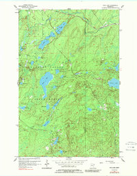
1956 · King Lake
USGS Topo · 1:24,000

1957 · Two Harbors
USGS Topo · 1:250,000

1957 · Two Harbors
USGS Topo · 1:62,500

1957 · Two Harbors
USGS Topo · 1:24,000

1957 · Brimson
USGS Topo · 1:62,500