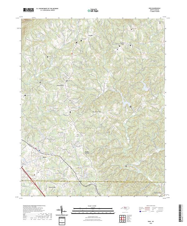
2022 Map of King
USGS Topo · Published 2022About this map
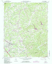
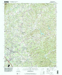
King and its surrounding communities are mapped here near the Stokes Co and Forsyth Co line, where the suburban growth of the northern Piedmont meets the rising slopes of Sauratown Mountain. This survey reveals a landscape dense with family-named landmarks and small rural nodes like Capella, Quaker Gap, and Poplar Springs. The drainage pattern is defined by the headwaters of several key streams, including Town Fork Creek and Neatman Creek, which have shaped the settlement of these valleys over generations. Genealogists will find this particular sheet exceptionally useful for its identification of numerous burial grounds, from the Old Mount Olive Cemetery and Tillotson Cemetery to church-affiliated sites like the Quaker Gap Baptist Church Cemetery. The southern edge captures the community of Tobaccoville and the crossing of the East Prong Little Yadkin River, documenting the local road network and residential expansion into formerly agricultural lands.
Find a feature on this map
214 named features on this map. Tap any name to fly to it.
Don’t see what you’re looking for? This feature index may not catch every label — zoom into the map to look around manually.
Map Details
Editions of this 2022 King Map
This is the sole edition of this map. No revisions or reprints were ever made.