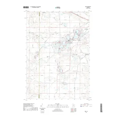
2018 Map of King
USGS Topo · Published 2018About this map
Chain O' Lakes dominates the northeastern landscape of this region, creating a intricate network of interconnected water bodies like Rainbow Lake and McCrossen Lake. Small islands such as Onaway Island and Williams Island dot the waters, while local landmarks like Norris Point and White Eagle Point define the shoreline. This aquatic geography supported the development of small communities like Richmond and Rural, the latter of which sits along the banks of the Crystal River.
Find a feature on this map
154 named features on this map. Tap any name to fly to it.
Don’t see what you’re looking for? This feature index may not catch every label — zoom into the map to look around manually.
Map Details
Editions of this 2018 King Map
This is the sole edition of this map. No revisions or reprints were ever made.
Other maps of this area

1955 · Green Bay
USGS Topo · 1:250,000

1957 · Amherst
USGS Topo · 1:48,000

1957 · Waupaca
USGS Topo · 1:48,000

1959 · Wautoma
USGS Topo · 1:48,000

1961 · Redgranite
USGS Topo · 1:62,500

1961 · Saxeville
USGS Topo · 1:24,000

1961 · Wild Rose
USGS Topo · 1:24,000
1968 · Wautoma NE
USGS Topo · 1:24,000
1969 · Waupaca
USGS Topo · 1:24,000
1969 · King
USGS Topo · 1:24,000