
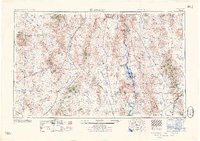
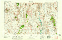
1960 Map of Kingman
USGS Topo · Published 1960About this map
Kingman serves as the eastern anchor of this 1960 survey, a high-desert crossroads where U.S. Highway 66 meets the Santa Fe railroad. The landscape is defined by the sharp transition from the Colorado River corridor to the surrounding mountain ranges, featuring the newly formed Lake Mohave and the sprawling Lake Mead National Recreational Area. Historically significant mining districts are scattered throughout the McCullough Range and Cerbat Mountains, with labels identifying operations like the Lucky Dutchman Mine and Mocking Bird Mine.
Find a feature on this map
90 named features on this map. Tap any name to fly to it.
Don’t see what you’re looking for? This feature index may not catch every label — zoom into the map to look around manually.
Map Details
Editions of this 1960 Kingman Map
3 editions found
Other maps of this area

1886 · Diamond Creek
USGS Topo · 1:250,000

1886 · Camp Mohave
USGS Topo · 1:250,000

1886 · Saint Thomas
USGS Topo · 1:250,000

1886 · Mt. Trumbull
USGS Topo · 1:250,000

1892 · Diamond Creek
USGS Topo · 1:250,000

1892 · Mt. Trumbull
USGS Topo · 1:250,000

1892 · Camp Mohave
USGS Topo · 1:250,000

1893 · Saint Thomas
USGS Topo · 1:250,000

1903 · Needles
USGS Topo · 1:125,000

1904 · Needles Special
USGS Topo · 1:125,000