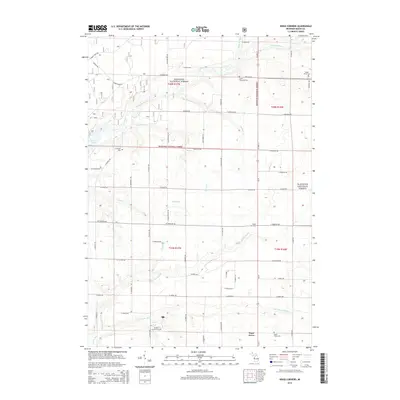
2014 Map of Kings Corners
USGS Topo · Published 2014About this map
Manistee National Forest covers much of this Mason County landscape, where the Big Sable River and several tributaries define the northern terrain. The southern portion of the map is dominated by the Lincoln River system, including the N Br Lincoln River and S Br Lincoln River. Significant local landmarks include the W Shore Community Coll near Sugar Grove, reflecting the area's development as a regional hub. Genealogists and local historians can locate several burial grounds, such as Maple Grove Cem, Grant Township Cem, and N Victory Cem. The drainage patterns, including the Olson Drain and creeks like Davis Cr and Freeman Cr, illustrate the complex hydrology of this coastal Michigan region just inland from the Lake Michigan shoreline.
Find a feature on this map
63 named features on this map. Tap any name to fly to it.
Don’t see what you’re looking for? This feature index may not catch every label — zoom into the map to look around manually.
Map Details
Editions of this 2014 Kings Corners Map
This is the sole edition of this map. No revisions or reprints were ever made.
Other maps of this area

1931 · Custer NW
USGS Topo · 1:31,680

1931 · Manistee SE
USGS Topo · 1:31,680

1931 · Freesoil SW
USGS Topo · 1:31,680

1931 · Manistee SW
USGS Topo · 1:31,680

1932 · Ludington NE
USGS Topo · 1:31,680

1932 · Ludington
USGS Topo · 1:31,680

1954 · Milwaukee
USGS Topo · 1:250,000

1954 · Manitowoc
USGS Topo · 1:250,000

1957 · Freesoil
USGS Topo · 1:62,500

1958 · Manitowoc
USGS Topo · 1:250,000