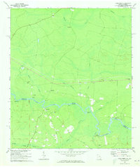
1970 Map of Kings Ferry
USGS Topo · Published 1973About this map
The St Marys River winds through the heart of this landscape, forming the state line between Georgia and Florida. Along this meandering watercourse, numerous historic river landings such as Blood Landing and Brickyard Landing speak to an era of river-based commerce and travel. The settlement of Kings Ferry serves as a central point in this rural district, which is characterized by family-named landmarks and small community centers.
Find a feature on this map
32 named features on this map. Tap any name to fly to it.
Don’t see what you’re looking for? This feature index may not catch every label — zoom into the map to look around manually.
Map Details
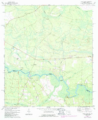
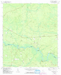
Editions of this 1970 Kings Ferry Map
3 editions found
Other maps of this area

1917 · Boulogne
USGS Topo · 1:62,500

1917 · Hilliard
USGS Topo · 1:62,500

1918 · St Marys
USGS Topo · 1:62,500

1918 · Kingsland
USGS Topo · 1:62,500

1919 · St Marys
USGS Topo · 1:62,500

1919 · Hilliard
USGS Topo · 1:62,500

1919 · Boulogne
USGS Topo · 1:62,500

1948 · Jacksonville
USGS Topo · 1:250,000

1957 · Jacksonville
USGS Topo · 1:250,000

1958 · Gross
USGS Topo · 1:24,000