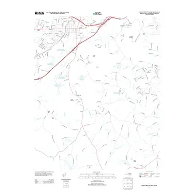
2013 Map of Kings Mountain
USGS Topo · Published 2013About this map
Kings Mountain serves as the central hub of this 2013 survey, where industrial and natural landscapes converge along the Norfolk Southern railroad. The presence of the Kings Mountain Mica Company Lake and the Foote Mineral Tailings Pond highlights the area's significant mineral extraction history, particularly in the production of mica and lithium. This industrial footprint contrasts with the preserved wildlands of Kings Mountain State Park to the southwest and the prominent peaks of Crowders Mountain and The Pinnacle to the east.
Find a feature on this map
242 named features on this map. Tap any name to fly to it.
Don’t see what you’re looking for? This feature index may not catch every label — zoom into the map to look around manually.
Map Details
Editions of this 2013 Kings Mountain Map
This is the sole edition of this map. No revisions or reprints were ever made.
Other maps of this area

1906 · Kings Mountain
USGS Topo · 1:62,500

1908 · Kings Mountain
USGS Topo · 1:62,500

1909 · Lincolnton
USGS Topo · 1:62,500

1911 · Lincolnton
USGS Topo · 1:62,500

1914 · Gastonia
USGS Topo · 1:48,000

1916 · Gastonia
USGS Topo · 1:62,500

1947 · Clover
USGS Topo · 1:62,500

1949 · Clover
USGS Topo · 1:62,500

1953 · Charlotte
USGS Topo · 1:250,000

1954 · Charlotte
USGS Topo · 1:250,000