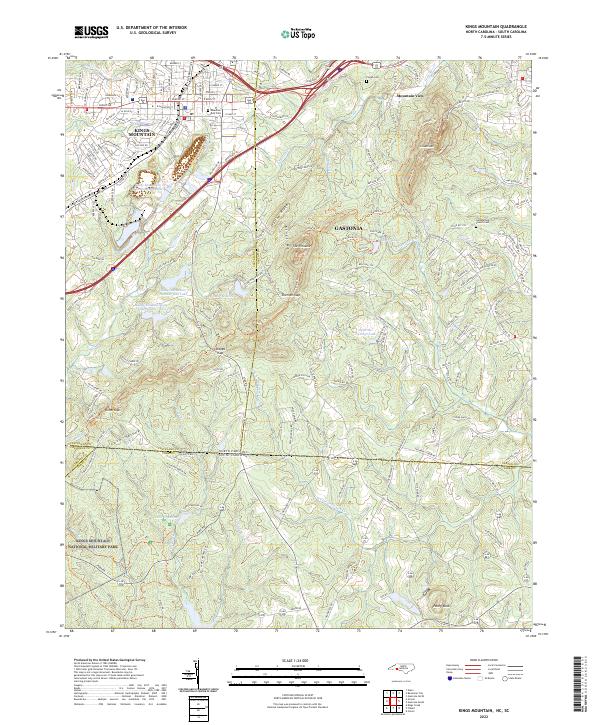
2022 Map of Kings Mountain
USGS Topo · Published 2022About this map
Kings Mountain National Military Park straddles the border of the Carolinas, preserving the site of a pivotal Revolutionary War engagement within a landscape defined by the prominent peaks of Kings Mountain. The terrain is marked by significant elevations like The Pinnacle and Crowders Mountain, which dominate the eastern skyline near Mountain View. This survey details the industrial and municipal development of the region, including the Kings Mountain Mica Company Lake and the complex of city reservoirs such as Kings Mountain City Lake Number Two. To the south, the settlement of Love Valley and the distinct peak of Henry Knob sit near the state line, while the Norfolk Southern rail line cuts through the northern corridor, connecting the residential and commercial centers of Kings Mountain and Gastonia. Local genealogy is well-served by the inclusion of several burying grounds, including Pisgah Cem and Mountain Rest Cem.
Find a feature on this map
170 named features on this map. Tap any name to fly to it.
Don’t see what you’re looking for? This feature index may not catch every label — zoom into the map to look around manually.
Map Details
Editions of this 2022 Kings Mountain Map
This is the sole edition of this map. No revisions or reprints were ever made.
Other maps of this area

1906 · Kings Mountain
USGS Topo · 1:62,500

1908 · Kings Mountain
USGS Topo · 1:62,500

1909 · Lincolnton
USGS Topo · 1:62,500

1911 · Lincolnton
USGS Topo · 1:62,500

1914 · Gastonia
USGS Topo · 1:48,000

1916 · Gastonia
USGS Topo · 1:62,500

1947 · Clover
USGS Topo · 1:62,500

1949 · Clover
USGS Topo · 1:62,500

1953 · Charlotte
USGS Topo · 1:250,000

1954 · Charlotte
USGS Topo · 1:250,000