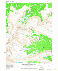
1965 Map of Kings Peak
USGS Topo · Published 1967About this map
High alpine peaks and glacial basins define this 1965 survey of the Uinta Mountains, centered on the towering Kings Peak. The landscape is dominated by the intersecting borders of the Wasatch National Forest and Ashley National Forest, separated by the Old Indian Treaty Boundary that cuts across the high ridges near Gilbert Peak. The terrain is characterized by a dense network of high-altitude water bodies, including Gilbert Lake, Milk Lake, and the clustered Painter Lakes within the expansive Painter Basin. This map illustrates the vital headwaters of the region, where the Uinta River and West Fork Beaver Creek originate from snowmelt and glacial cirques. Strategically placed routes like Gunsight Pass and Trail Rider Pass provide the only passage through these steep divides, connecting remote basins such as Painter Draw to the lower valleys.
Find a feature on this map
23 named features on this map. Tap any name to fly to it.
Don’t see what you’re looking for? This feature index may not catch every label — zoom into the map to look around manually.
Map Details
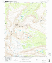
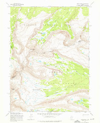
Editions of this 1965 Kings Peak Map
3 editions found
Other maps of this area

1885 · Uinta
USGS Topo · 1:250,000

1905 · Gilbert Peak
USGS Topo · 1:125,000

1906 · Gilbert Peak
USGS Topo · 1:125,000

1954 · Salt Lake City
USGS Topo · 1:250,000

1958 · Salt Lake City
USGS Topo · 1:250,000

1960 · Salt Lake City
USGS Topo · 1:250,000

1965 · Mount Emmons
USGS Topo · 1:24,000
1965 · Bollie Lake
USGS Topo · 1:24,000
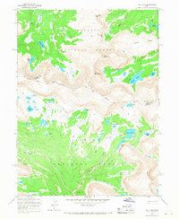
1965 · Fox Lake
USGS Topo · 1:24,000
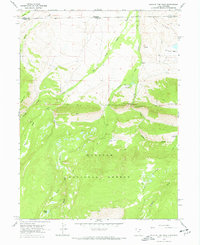
1967 · Hole In The Rock
USGS Topo · 1:24,000