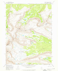
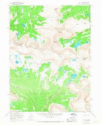
1965 Map of Kings Peak
USGS Topo · Published 1976About this map
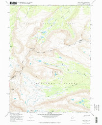
Kings Peak and Gilbert Peak dominate this high-altitude landscape where the Summit Co Duchesne Co Boundary cuts through some of the highest points in the Uinta Mountains. The 1965 field survey captures a wilderness largely defined by glacial hydrology, with drainage systems including the Uinta River and its various branches like the North Fork and Center Fork. The terrain is divided between the Wasatch National Forest and Ashley National Forest, illustrating how federal land management bifurcated this remote alpine environment. A significant historical marker, the Old Indian Treaty Boundary, is traced across the ridges, providing a rare cartographic record of past territorial agreements. High basins such as Painter Basin and numerous alpine pools like Lake Atwood and Lake George Beard are accessible only via the extensive network of Pack Trails that weave through passes like Gunsight Pass.
Find a feature on this map
26 named features on this map. Tap any name to fly to it.
Don’t see what you’re looking for? This feature index may not catch every label — zoom into the map to look around manually.
Map Details
Editions of this 1965 Kings Peak Map
3 editions found
Other maps of this area

1885 · Uinta
USGS Topo · 1:250,000

1905 · Gilbert Peak
USGS Topo · 1:125,000

1906 · Gilbert Peak
USGS Topo · 1:125,000

1954 · Salt Lake City
USGS Topo · 1:250,000

1958 · Salt Lake City
USGS Topo · 1:250,000

1960 · Salt Lake City
USGS Topo · 1:250,000

1965 · Mount Emmons
USGS Topo · 1:24,000
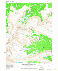
1965 · Kings Peak
USGS Topo · 1:24,000
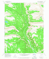
1965 · Bollie Lake
USGS Topo · 1:24,000
1965 · Fox Lake
USGS Topo · 1:24,000