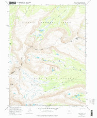
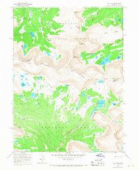
1965 Map of Kings Peak
USGS Topo · Published 1976About this map
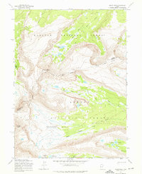
Kings Peak and Gilbert Peak dominate this high-altitude landscape within the Wasatch National Forest and Ashley National Forest. The map documents a rugged wilderness defined by steep glacial cirques and alpine basins, most notably the expansive Painter Basin and the cluster of Painter Lakes. Historical land divisions are marked by the Old Indian Treaty Boundary, which cuts across the high ridges near the Summit and Duchesne County line.
Find a feature on this map
22 named features on this map. Tap any name to fly to it.
Don’t see what you’re looking for? This feature index may not catch every label — zoom into the map to look around manually.
Map Details
Editions of this 1965 Kings Peak Map
3 editions found
Other maps of this area

1885 · Uinta
USGS Topo · 1:250,000

1905 · Gilbert Peak
USGS Topo · 1:125,000

1906 · Gilbert Peak
USGS Topo · 1:125,000

1954 · Salt Lake City
USGS Topo · 1:250,000

1958 · Salt Lake City
USGS Topo · 1:250,000

1960 · Salt Lake City
USGS Topo · 1:250,000

1965 · Mount Emmons
USGS Topo · 1:24,000
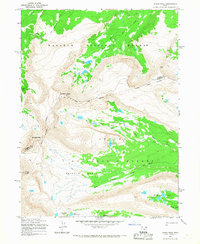
1965 · Kings Peak
USGS Topo · 1:24,000
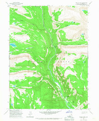
1965 · Bollie Lake
USGS Topo · 1:24,000
1965 · Fox Lake
USGS Topo · 1:24,000