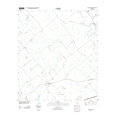
2013 Map of Kingsbury
USGS Topo · Published 2013About this map
Kingsbury serves as the central hub of this 2013 survey, where the rail line parallels Railway St and Caldwell St. The landscape is a network of rural crossroads and family-named landmarks, extending from the Mill Creek Hills in the west toward the San Marcos River in the northeast. This area of Guadalupe County is defined by its small-scale water bodies and drainage systems, including York Cr, Brushy Cr, and Wolf Cr, which create a complex riparian pattern across the agricultural terrain.
Find a feature on this map
79 named features on this map. Tap any name to fly to it.
Don’t see what you’re looking for? This feature index may not catch every label — zoom into the map to look around manually.
Map Details
Editions of this 2013 Kingsbury Map
This is the sole edition of this map. No revisions or reprints were ever made.
Other maps of this area

1911 · San Marcos
USGS Topo · 1:125,000

1919 · San Marcos
USGS Topo · 1:125,000

1924 · San Marcos 3-c
USGS Topo · 1:48,000

1924 · San Marcos 3-d
USGS Topo · 1:48,000

1925 · San Marcos 4-c
USGS Topo · 1:48,000

1929 · Luling
USGS Topo · 1:62,500

1930 · Lockhart
USGS Topo · 1:62,500

1930 · Seguin
USGS Topo · 1:62,500

1953 · Seguin
USGS Topo · 1:250,000

1958 · Seguin
USGS Topo · 1:250,000