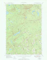
1948 Map of Kingsbury
USGS Topo · Published 1967About this map
Kingsbury Pond and the surrounding timberlands of Somerset and Piscataquis counties define this landscape during the late 1940s. The settlement of Kingsbury sits along Kingsbury Stream, serving as a central point between dispersed communities like Wellington, Brighton, and Mayfield Corner. The map reveals the intricate network of local crossroads and family landmarks that anchored these rural townships, from Hutchins Corner to Moody Corner.
Find a feature on this map
113 named features on this map. Tap any name to fly to it.
Don’t see what you’re looking for? This feature index may not catch every label — zoom into the map to look around manually.
Map Details
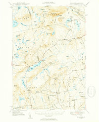
Editions of this 1948 Kingsbury Map
3 editions found

Other maps of this area

1903 · Bingham
USGS Topo · 1:62,500

1904 · Anson
USGS Topo · 1:62,500

1905 · Bingham
USGS Topo · 1:62,500

1905 · The Forks
USGS Topo · 1:62,500

1907 · The Forks
USGS Topo · 1:62,500

1913 · Skowhegan
USGS Topo · 1:62,500

1930 · Pittsfield
USGS Topo · 1:48,000

1932 · Pittsfield
USGS Topo · 1:62,500

1933 · Pittsfield
USGS Topo · 1:62,500

1933 · Guilford
USGS Topo · 1:62,500