
1969 Map of Kingsdown
USGS Topo · Published 1971About this map
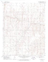
Mulberry Creek winds through the northern half of this terrain, carving a distinct drainage pattern into the Kansas plains of Ford County. The southern portion of the landscape is dominated by the linear infrastructure of the mid-20th century, specifically the Chicago Rock Island and Pacific railroad and a dense corridor of pipelines. The small community of Kingsdown sits at this intersection of rail and road, serving as a focal point for the surrounding rural area. Genealogists and local historians will find the Sodville Cem located just west of the townsite, a clear marker of the early settlement's footprint. The map also documents numerous wells scattered across the township, illustrating the ongoing importance of groundwater and resource extraction in this prairie environment during the late 1960s.
Find a feature on this map
11 named features on this map. Tap any name to fly to it.
Don’t see what you’re looking for? This feature index may not catch every label — zoom into the map to look around manually.
Map Details
Editions of this 1969 Kingsdown Map
This is the sole edition of this map. No revisions or reprints were ever made.
Other maps of this area

1892 · Spearville
USGS Topo · 1:125,000

1894 · Spearville
USGS Topo · 1:125,000

1896 · Ashland
USGS Topo · 1:125,000

1955 · Pratt
USGS Topo · 1:250,000

1959 · Pratt
USGS Topo · 1:250,000

1967 · Bloom
USGS Topo · 1:24,000
1969 · Fort Dodge SW
USGS Topo · 1:24,000

1969 · Fort Dodge
USGS Topo · 1:24,000

1969 · Bucklin
USGS Topo · 1:24,000

1969 · Bucklin NW
USGS Topo · 1:24,000