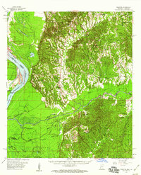
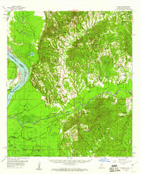
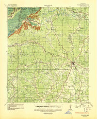
1958 Map of Kingston
USGS Topo · Published 1960About this map
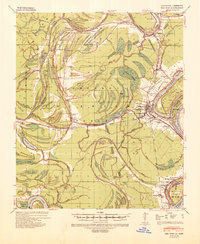
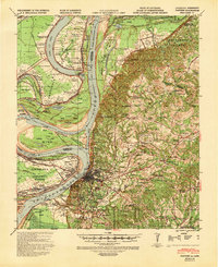
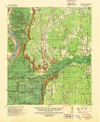
Mississippi River dynamics dominate this 1950s landscape, where the Glasscock Cutoff has altered the flow past Esperance Point and Ellis Cliffs. The western alluvial plain is a complex network of waterways, including Willow Lake, Long Lake, and Washout Bayou, illustrating the shifting nature of the river's path through the Adams Co-Concordia Parish borderlands. In the uplands to the east, the Homochitto National Forest preserves a terrain marked by deep drainage like Second Creek and St Catherine Creek. Local history is deeply etched into the topography here, from ancient Indian Mounds near Sibley to scattered rural congregations such as Jerusalem Ch and Sinai Ch. The map captures a moment when the transition between river-bottom industry and upland forest was defined by isolated settlements like Kingston and Doloroso.
Find a feature on this map
81 named features on this map. Tap any name to fly to it.
Don’t see what you’re looking for? This feature index may not catch every label — zoom into the map to look around manually.
Map Details
Editions of this 1958 Kingston Map
2 editions found
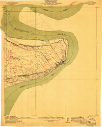
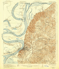
Other maps of this area

1909 · Sycamore Landing
USGS Topo · 1:24,000
1909 · Vidalia
USGS Topo · 1:24,000

1921 · Natchez
USGS Topo · 1:48,000
1922 · Natchez
USGS Topo · 1:62,500
1936 · Woodville
USGS Topo · 1:62,500
1939 · Red Gum
USGS Topo · 1:62,500
1939 · Natchez
USGS Topo · 1:62,500
1939 · Kingston
USGS Topo · 1:62,500

1939 · Artonish
USGS Topo · 1:62,500

1939 · Deer Park
USGS Topo · 1:62,500