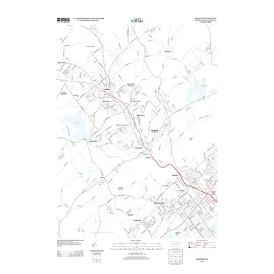
2013 Map of Kingston
USGS Topo · Published 2013About this map
Wyoming Valley urban and suburban development dominates the southeastern portion of this landscape, where the Susquehanna River defines the edge of established boroughs. The densely gridded streets of Forty Fort, Luzerne, and Edwardsville transition into the more modern residential expansions of Shavertown and Trucksville as the elevation rises. These communities are linked by the prominent corridor of the Memorial Hwy, which cuts through the gap between Larksville Mountain and Bunker Hill.
Find a feature on this map
327 named features on this map. Tap any name to fly to it.
Don’t see what you’re looking for? This feature index may not catch every label — zoom into the map to look around manually.
Map Details
Editions of this 2013 Kingston Map
This is the sole edition of this map. No revisions or reprints were ever made.
Other maps of this area

1891 · Wilkesbarre
USGS Topo · 1:62,500

1891 · Harveys Lake
USGS Topo · 1:62,500

1893 · Harvey Lake
USGS Topo · 1:62,500

1893 · Pittston
USGS Topo · 1:62,500

1894 · Shickshinny
USGS Topo · 1:62,500

1894 · Wilkesbarre
USGS Topo · 1:62,500

1943 · Scranton
USGS Topo · 1:125,000

1946 · Nanticoke
USGS Topo · 1:31,680

1946 · Kingston
USGS Topo · 1:24,000

1946 · Harveys Lake
USGS Topo · 1:24,000