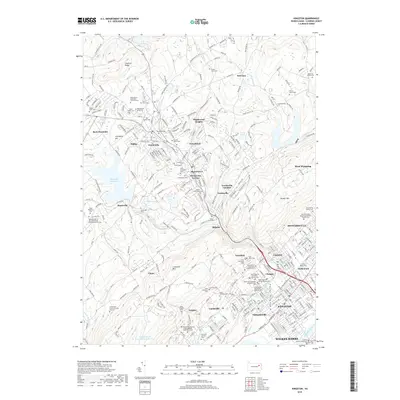
2019 Map of Kingston
USGS Topo · Published 2019About this map
Misericordia University and the residential heights of Dallas overlook the diverse cultural landscape of the Wyoming Valley in this survey of the northern anthracite region. The terrain transitions from the crest of Chestnut Ridge down to the banks of the Susquehanna River, where the urban centers of Kingston and Wilkes-Barre sit. This map serves as an exceptional genealogical resource, documenting dozens of ethnically distinct burial grounds such as Saint John's Russian Orthodox Cem and the Resurrection of the Lord-Polish National Church Cem, reflecting the area's rich history of Eastern European immigration.
Find a feature on this map
324 named features on this map. Tap any name to fly to it.
Don’t see what you’re looking for? This feature index may not catch every label — zoom into the map to look around manually.
Map Details
Editions of this 2019 Kingston Map
This is the sole edition of this map. No revisions or reprints were ever made.
Other maps of this area

1891 · Wilkesbarre
USGS Topo · 1:62,500

1891 · Harveys Lake
USGS Topo · 1:62,500

1893 · Harvey Lake
USGS Topo · 1:62,500

1893 · Pittston
USGS Topo · 1:62,500

1894 · Shickshinny
USGS Topo · 1:62,500

1894 · Wilkesbarre
USGS Topo · 1:62,500

1943 · Scranton
USGS Topo · 1:125,000

1946 · Nanticoke
USGS Topo · 1:31,680

1946 · Kingston
USGS Topo · 1:24,000

1946 · Harveys Lake
USGS Topo · 1:24,000