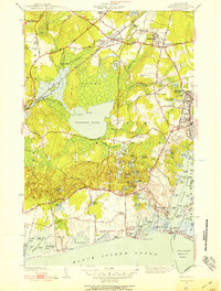
1942 Map of Kingston
USGS Topo · Published 1953About this map
The Rhode Island State College campus and the historic Great Swamp Fight Site define the cultural and natural geography of this Washington County landscape during the early 1940s. Centered on the sprawling wetlands of the Great Swamp and the large expanse of Worden Pond, the map illustrates a region transitioning between academic life, agriculture, and coastal commerce. The New York New Haven and Hartford railroad cuts through the terrain, serving transit points like West Kingston and Kenyon.
Find a feature on this map
122 named features on this map. Tap any name to fly to it.
Don’t see what you’re looking for? This feature index may not catch every label — zoom into the map to look around manually.
Map Details
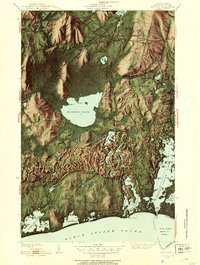
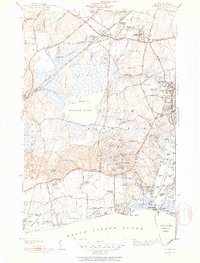
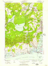
Editions of this 1942 Kingston Map
4 editions found
Other maps of this area

1889 · Charlestown
USGS Topo · 1:62,500

1889 · Newport
USGS Topo · 1:62,500

1890 · Narragansett Bay
USGS Topo · 1:62,500

1890 · Kent
USGS Topo · 1:62,500

1892 · Narragansett Bay
USGS Topo · 1:62,500

1894 · Kent
USGS Topo · 1:62,500

1894 · Newport
USGS Topo · 1:62,500

1904 · Newport
USGS Topo · 1:62,500

1919 · Charlestown
USGS Topo · 1:62,500

1919 · Narragansett Bay
USGS Topo · 1:62,500