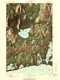
1942 Map of Kingston
USGS Topo · Published 1953About this map
Rhode Island State College stands at the northern edge of this coastal landscape, overlooking a region defined by its complex glacial hydrology and maritime heritage. The expansive Great Swamp dominates the central terrain, with the New York New Haven and Hartford RR cutting a straight line through the wetlands toward West Kingston. This mid-century survey captures the inland villages of Kingston, Peace Dale, and Wakefield as distinct clusters before modern suburban expansion. Significant historical landmarks are documented, including the Great Swamp Fight Site and the Kingston Fair Grounds. To the south, the terrain transitions into a labyrinth of salt ponds and coastal features. Coastal life is reflected in the layout of fishing and resort communities like Galilee and Jerusalem, positioned near The Breachway and the State Piers at Point Judith Pond. From the freshwater expanse of Worden Pond to the protected waters of Point Judith Harbor of Refuge, the map details a world where inland agriculture, academic life, and Atlantic commerce converge.
Find a feature on this map
97 named features on this map. Tap any name to fly to it.
Don’t see what you’re looking for? This feature index may not catch every label — zoom into the map to look around manually.
Map Details
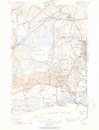
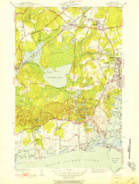
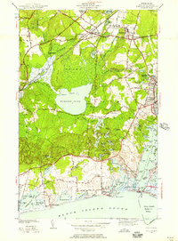
Editions of this 1942 Kingston Map
4 editions found
Other maps of this area

1889 · Charlestown
USGS Topo · 1:62,500

1889 · Newport
USGS Topo · 1:62,500

1890 · Narragansett Bay
USGS Topo · 1:62,500

1890 · Kent
USGS Topo · 1:62,500

1892 · Narragansett Bay
USGS Topo · 1:62,500

1894 · Kent
USGS Topo · 1:62,500

1894 · Newport
USGS Topo · 1:62,500

1904 · Newport
USGS Topo · 1:62,500

1919 · Charlestown
USGS Topo · 1:62,500

1919 · Narragansett Bay
USGS Topo · 1:62,500