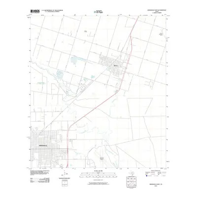
2010 Map of Kingsville East
USGS Topo · Published 2010About this map
Kingsville and Bishop anchor this coastal plain landscape in Kleberg County, where the grid of the city meets an extensive network of rural roads and water features. The southeastern portion of the map is dominated by the Kingsville Naval Air Station, a significant military presence that shapes the local infrastructure and airspace. Further north, the Bishop Oil Field and the Bishop Municipal Airport point to the diverse economic drivers of the region, from energy extraction to regional aviation.
Find a feature on this map
38 named features on this map. Tap any name to fly to it.
Don’t see what you’re looking for? This feature index may not catch every label — zoom into the map to look around manually.
Map Details
Editions of this 2010 Kingsville East Map
This is the sole edition of this map. No revisions or reprints were ever made.
Other maps of this area

1924 · Petronilla
USGS Topo · 1:62,500

1928 · Sarita
USGS Topo · 1:125,000

1950 · Corpus Christi
USGS Topo · 1:250,000

1952 · Riviera Beach NW
USGS Topo · 1:24,000

1952 · Riviera Beach
USGS Topo · 1:62,500

1954 · Kingsville
USGS Topo · 1:62,500

1954 · Petronila
USGS Topo · 1:62,500

1954 · Riviera
USGS Topo · 1:62,500

1956 · Corpus Christi
USGS Topo · 1:250,000

1960 · Corpus Christi
USGS Topo · 1:250,000