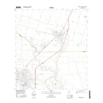
2016 Map of Kingsville East
USGS Topo · Published 2016About this map
Kingsville and Bishop anchor this coastal plain landscape in Kleberg and Nueces Counties, illustrating a region defined by agricultural grid lines and critical aviation infrastructure. The northern portion of the map centers on the community of Bishop, where streets like W Oregon St and E Main St transition into a dense network of county roads serving the surrounding farms. To the south, the city of Kingsville is intricately detailed with established residential blocks and local landmarks such as Meadow Brook.
Find a feature on this map
91 named features on this map. Tap any name to fly to it.
Don’t see what you’re looking for? This feature index may not catch every label — zoom into the map to look around manually.
Map Details
Editions of this 2016 Kingsville East Map
This is the sole edition of this map. No revisions or reprints were ever made.
Other maps of this area

1924 · Petronilla
USGS Topo · 1:62,500

1928 · Sarita
USGS Topo · 1:125,000

1950 · Corpus Christi
USGS Topo · 1:250,000

1952 · Riviera Beach NW
USGS Topo · 1:24,000

1952 · Riviera Beach
USGS Topo · 1:62,500

1954 · Kingsville
USGS Topo · 1:62,500

1954 · Petronila
USGS Topo · 1:62,500

1954 · Riviera
USGS Topo · 1:62,500

1956 · Corpus Christi
USGS Topo · 1:250,000

1960 · Corpus Christi
USGS Topo · 1:250,000