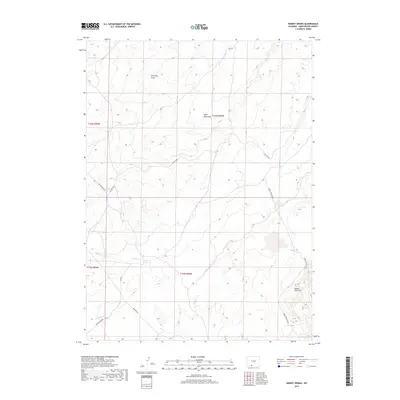
2017 Map of Kinney Spring
USGS Topo · Published 2017About this map
Kinney Spring sits at the heart of this high-desert landscape in Sweetwater County, marking a vital water source in an arid region defined by seasonal drainages and high plateaus. The terrain is characterized by the prominent Adobe Town Rim, a significant geological escarpment that dominates the eastern portion of the survey. Below this rim, a network of ephemeral waterways including Shell Cr, Iron Pipe Draw, and Eagle Nest Draw carve through the basin, illustrating the drainage patterns that have shaped the local topography.
Find a feature on this map
15 named features on this map. Tap any name to fly to it.
Don’t see what you’re looking for? This feature index may not catch every label — zoom into the map to look around manually.
Map Details
Editions of this 2017 Kinney Spring Map
This is the sole edition of this map. No revisions or reprints were ever made.
Other maps of this area

1954 · Rock Springs
USGS Topo · 1:250,000

1958 · Rock Springs
USGS Topo · 1:250,000

1962 · Rock Springs
USGS Topo · 1:250,000

1968 · Chicken Creek East
USGS Topo · 1:24,000

1968 · Sand Butte Rim SE
USGS Topo · 1:24,000
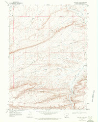
1968 · Antelope Flats
USGS Topo · 1:24,000

1970 · Cow Creek Reservoir
USGS Topo · 1:24,000
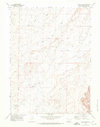
1970 · Kinney Spring
USGS Topo · 1:24,000

1970 · Manuel Gap
USGS Topo · 1:24,000
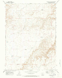
1970 · Monument Valley
USGS Topo · 1:24,000