
1894 Map of Kinsley
USGS Topo · Published 1894About this map
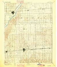
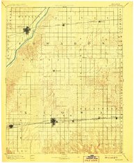
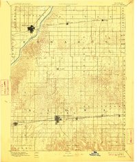
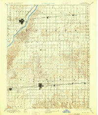
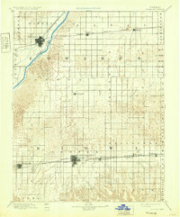
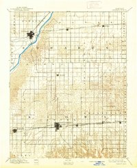
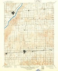
Kinsley and Greensburg serve as the primary hubs of this late nineteenth-century landscape, positioned along critical transit corridors that define the region's development. The northern section is dominated by the Arkansas River and the path of the Atchison Topeka and Santa Fe Railroad, which links settlements like Lewis and Belpre. Further south, the Chicago Kansas and Western Railroad and the Nebraska Railroad converge near Mullenville and Greensburg, illustrating the importance of rail competition in shaping the early plains economy. Between these corridors, the topography transitions from the river valley into the more broken terrain surrounding Rattlesnake Creek. Small farming outposts such as Wendell and Fellsburg are visible in the interior, highlighting the systematic township grid that governed Kansas settlement during this era.
Find a feature on this map
34 named features on this map. Tap any name to fly to it.
Don’t see what you’re looking for? This feature index may not catch every label — zoom into the map to look around manually.
Map Details
Editions of this 1894 Kinsley Map
8 editions found
Other maps of this area

1889 · Larned
USGS Topo · 1:125,000

1889 · Kinsley
USGS Topo · 1:125,000

1891 · Great Bend
USGS Topo · 1:125,000

1891 · Medicine Lodge
USGS Topo · 1:125,000

1891 · Larned
USGS Topo · 1:125,000

1892 · Ness
USGS Topo · 1:125,000

1892 · Kinsley
USGS Topo · 1:125,000

1892 · Spearville
USGS Topo · 1:125,000

1892 · Coldwater
USGS Topo · 1:125,000

1892 · Pratt
USGS Topo · 1:125,000