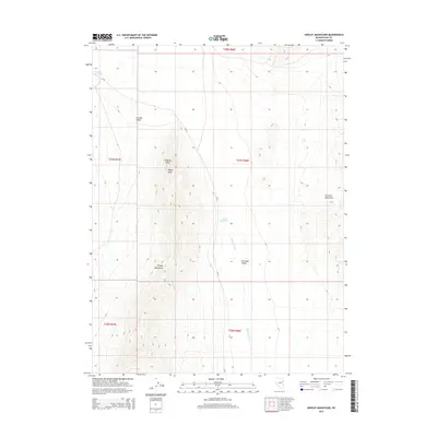
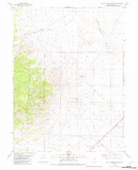
2015 Map of Kinsley Mountains
USGS Topo · Published 2015About this map
The Kinsley Mountains rise sharply in this eastern Nevada landscape, defined by a series of prominent peaks and drainage systems. Steep-sided terrain culminates at Rocky Peak and Kingsley Point, overlooking the broad expanse of Antelope Valley to the east. The map captures a desert environment where water management is critical, evidenced by the presence of Echada Reservoir and Beers Reservoir, which collect seasonal runoff from features like Antelope Wash and Kinsley Draw. On the eastern edge of the quadrangle, the slopes of the Goshute Mountains begin to ascend, while the north-south route of CR-33 provides the primary transit corridor through this remote basin and range territory.
Find a feature on this map
15 named features on this map. Tap any name to fly to it.
Don’t see what you’re looking for? This feature index may not catch every label — zoom into the map to look around manually.
Map Details
Editions of this 2015 Kinsley Mountains Map
This is the sole edition of this map. No revisions or reprints were ever made.
Other maps of this area

1955 · Elko
USGS Topo · 1:250,000

1958 · Elko
USGS Topo · 1:250,000

1962 · Elko
USGS Topo · 1:250,000

1965 · Elko
USGS Topo · 1:250,000

1972 · White Horse Pass
USGS Topo · 1:24,000

1982 · Chin Creek Spring
USGS Topo · 1:24,000
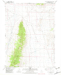
1982 · Kinsley Mountains
USGS Topo · 1:24,000
1982 · Ayarbe Spring
USGS Topo · 1:24,000
1982 · Boone Canyon
USGS Topo · 1:24,000
1982 · Dolly Varden Spring
USGS Topo · 1:24,000