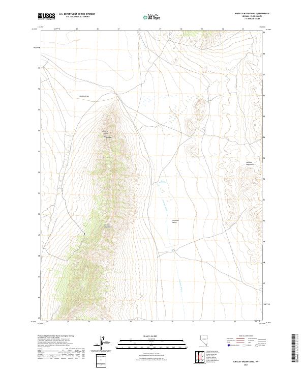
2021 Map of Kinsley Mountains
USGS Topo · Published 2021About this map
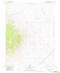
Kinsley Mountains and the adjacent Goshute Mountains dominate this high-desert landscape in Elko County. The terrain is defined by dramatic elevation changes, rising from the flat expanse of the Antelope Valley to prominent heights at Kingsley Point and Rocky Peak. This environment relies on a sparse network of ephemeral water features, including the seasonal Antelope Wash and Kinsley Draw, which channel runoff toward Beers Reservoir. The cartography reveals a remote sector of Nevada where the public land survey system remains the primary human imprint, marking township and range boundaries across the scrubland and peaks. This map serves as a vital reference for understanding the physical geography and hydrology of the Great Basin during the early twenty-first century.
Find a feature on this map
13 named features on this map. Tap any name to fly to it.
Don’t see what you’re looking for? This feature index may not catch every label — zoom into the map to look around manually.
Map Details
Editions of this 2021 Kinsley Mountains Map
This is the sole edition of this map. No revisions or reprints were ever made.
Other maps of this area

1955 · Elko
USGS Topo · 1:250,000

1958 · Elko
USGS Topo · 1:250,000

1962 · Elko
USGS Topo · 1:250,000

1965 · Elko
USGS Topo · 1:250,000

1972 · White Horse Pass
USGS Topo · 1:24,000

1982 · Chin Creek Spring
USGS Topo · 1:24,000
1982 · Kinsley Mountains
USGS Topo · 1:24,000
1982 · Ayarbe Spring
USGS Topo · 1:24,000
1982 · Boone Canyon
USGS Topo · 1:24,000
1982 · Dolly Varden Spring
USGS Topo · 1:24,000