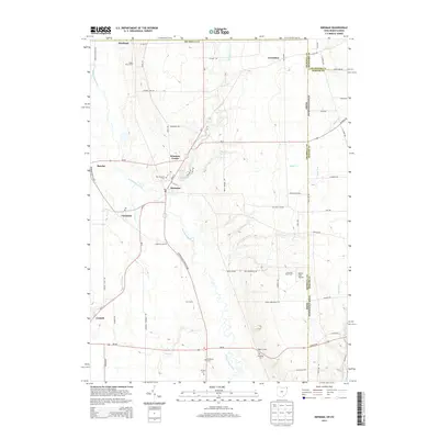
2013 Map of Kinsman
USGS Topo · Published 2013About this map
Pymatuning Creek winds through this agricultural borderland, anchoring a landscape where Trumbull County, Ohio, meets Crawford and Mercer Counties in Pennsylvania. The village of Kinsman and its neighboring Kinsman Center serve as the primary hubs, surrounded by a network of family-named landmarks and farmsteads such as Carr Farms and Naturally Yours Farm. This survey captures the rural character of the region, where the hydrology of Kinsman Lake and its various tributaries like Stratton Cr and Sugar Cr once dictated the placement of early settlements.
Find a feature on this map
73 named features on this map. Tap any name to fly to it.
Don’t see what you’re looking for? This feature index may not catch every label — zoom into the map to look around manually.
Map Details
Editions of this 2013 Kinsman Map
This is the sole edition of this map. No revisions or reprints were ever made.
Other maps of this area

1905 · Andover
USGS Topo · 1:48,000

1906 · Linesville
USGS Topo · 1:62,500

1907 · Andover
USGS Topo · 1:62,500

1907 · Kinsman
USGS Topo · 1:62,500

1908 · Shenango
USGS Topo · 1:62,500

1908 · Linesville
USGS Topo · 1:62,500

1950 · Cleveland
USGS Topo · 1:250,000

1956 · Cleveland
USGS Topo · 1:250,000

1958 · Sharpsville
USGS Topo · 1:24,000

1958 · Greensville West
USGS Topo · 1:24,000