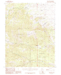
1987 Map of Kious Spring
USGS Topo · Published 1987About this map
Great Basin National Park and the Humboldt National Forest converge in this high-altitude corner of White Pine County. The landscape is defined by its dramatic verticality, where prominent landmarks like Standing Snake Pinnacle and Castle Butte rise above deep drainages. The drainage system is particularly complex, featuring the North Fork Snake Creek, South Fork Snake Creek, and the long reach of Big Wash to the south. Historically, the area supported small-scale mining operations, evidenced by the Pollack Mine in Pollack Canyon and the Bonita Mine located further south near Snake Creek. Numerous water sources, including Kious Spring, Tilford Spring, and Mahogany Spring, provide vital points of reference in an otherwise arid environment characterized by names like Cave Canyon and Granite Basin.
Find a feature on this map
22 named features on this map. Tap any name to fly to it.
Don’t see what you’re looking for? This feature index may not catch every label — zoom into the map to look around manually.
Map Details
Editions of this 1987 Kious Spring Map
2 editions found
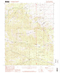
Other maps of this area

1948 · Wheeler Peak
USGS Topo · 1:62,500

1949 · Garrison
USGS Topo · 1:62,500

1950 · Wheeler Peak
USGS Topo · 1:62,500

1951 · Garrison
USGS Topo · 1:62,500

1956 · Lund
USGS Topo · 1:250,000

1956 · Ely
USGS Topo · 1:250,000

1959 · Ely
USGS Topo · 1:250,000

1959 · Sacramento Pass
USGS Topo · 1:62,500

1960 · Lund
USGS Topo · 1:250,000

1963 · Ely
USGS Topo · 1:250,000